We recently reported on Seoul, Korea, which experienced heavy flooding.
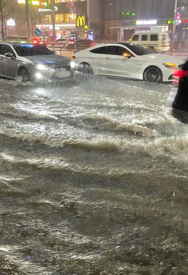
On August 8, Seoul’s southern Gangnam district and its neighboring neighborhoods suffered heavy flooding.
The floods left 7 dead and 6 missing, and caused extensive damage to the city’s infrastructure, including metro stations, shops and buildings. It was also reported that up to 3,000 cars were submerged underwater during the flood.
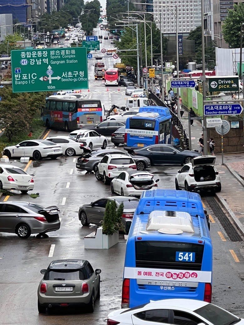
Despite the city’s efforts, many affected businesses in the district have yet to fully recover, leaving all of Korea on high alert when it was revealed over the weekend that Super Typhoon Hinnamnor was heading straight for the country.
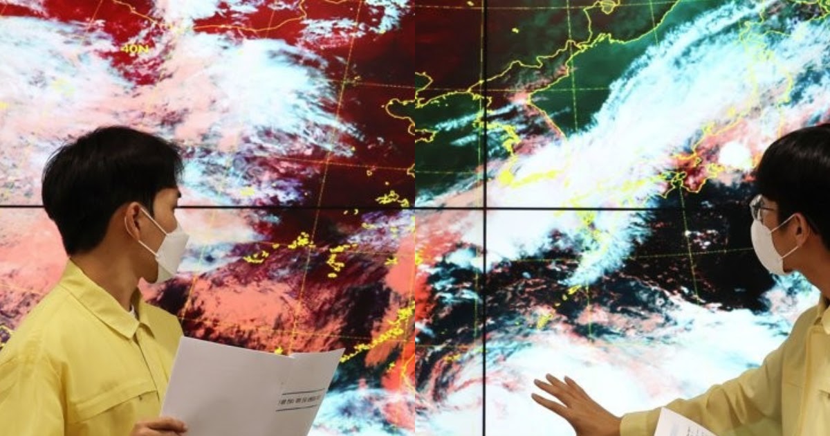
Super Typhoon Hinnamnor, the 11th typhoon this year, was spotted 550 km just south-southwest of Jeju’s Seogwipo district. The typhoon was previously thought to pass Japan, but warmer than usual sea waters near the Korean Peninsula allowed the typhoon to run its course.
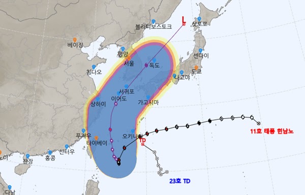
The typhoon is expected to reach Jeju today and make landfall in the port city of Busan at 9 a.m. Tuesday, according to the Korea Meteorological Administration (KMA). The typhoon is expected to be the strongest typhoon to hit the main peninsula.
The typhoon is expected to bring 100 to 300 millimeters of rain across the country between Monday and Tuesday, with the southern part of the peninsula expected to receive up to 600 millimeters.

The typhoon is also expected to bring record winds, with the KMA predicting winds of up to 40 to 60 meters per second. According to the University of Maine’s Beaufort Wind Scale, the winds would be strong enough to cause violent destruction, exceeding the wind speed needed to uproot trees and cause extensive damage to buildings.